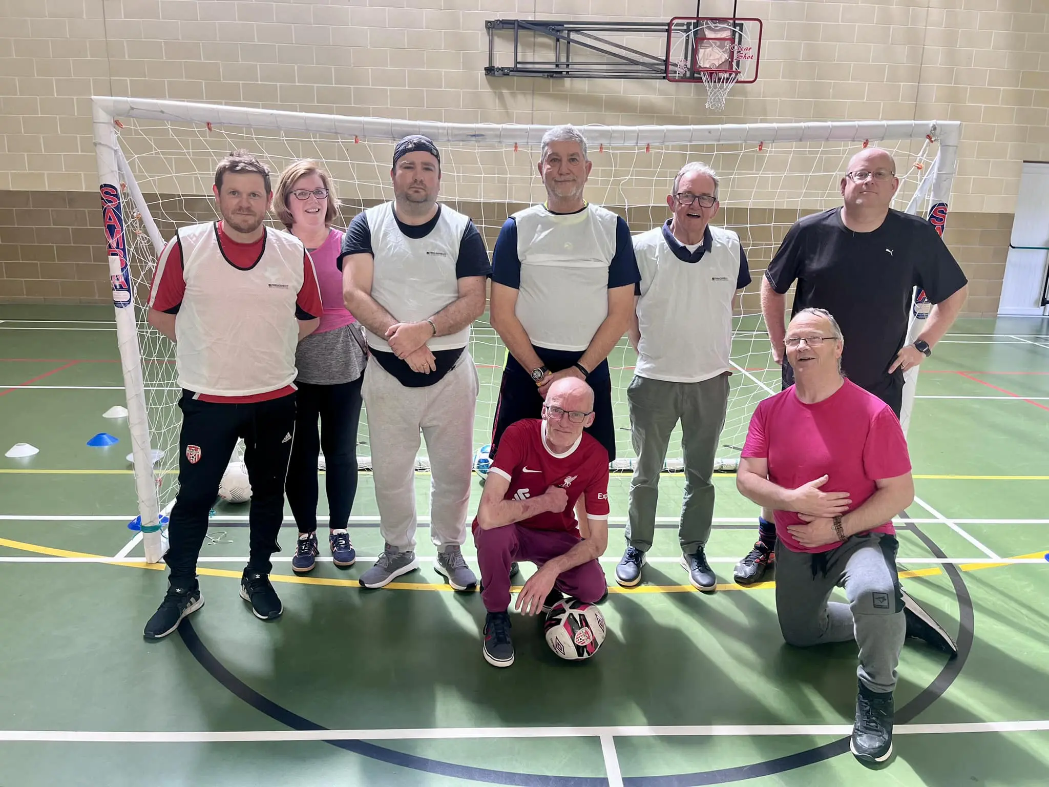
Through trail development, leadership training, and community engagement, Active Inishowen aims to reduce barriers to participation and create a lasting positive impact on health, wellbeing, and outdoor recreation across the region. Since 2024, the project has progressed from research and consultation into delivery through a hub-based model working across 10 communities in Inishowen through to 2029. This approach builds on the existing strengths of each community to develop tailored local action plans focused on increasing participation, building local capacity, and enhancing walking and cycling infrastructure, with a strong emphasis on long-term sustainability and local ownership.
Upcoming Active Inishowen events
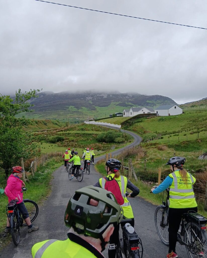
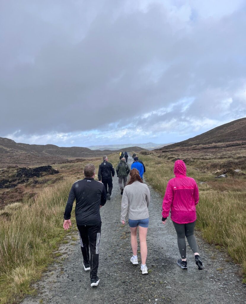
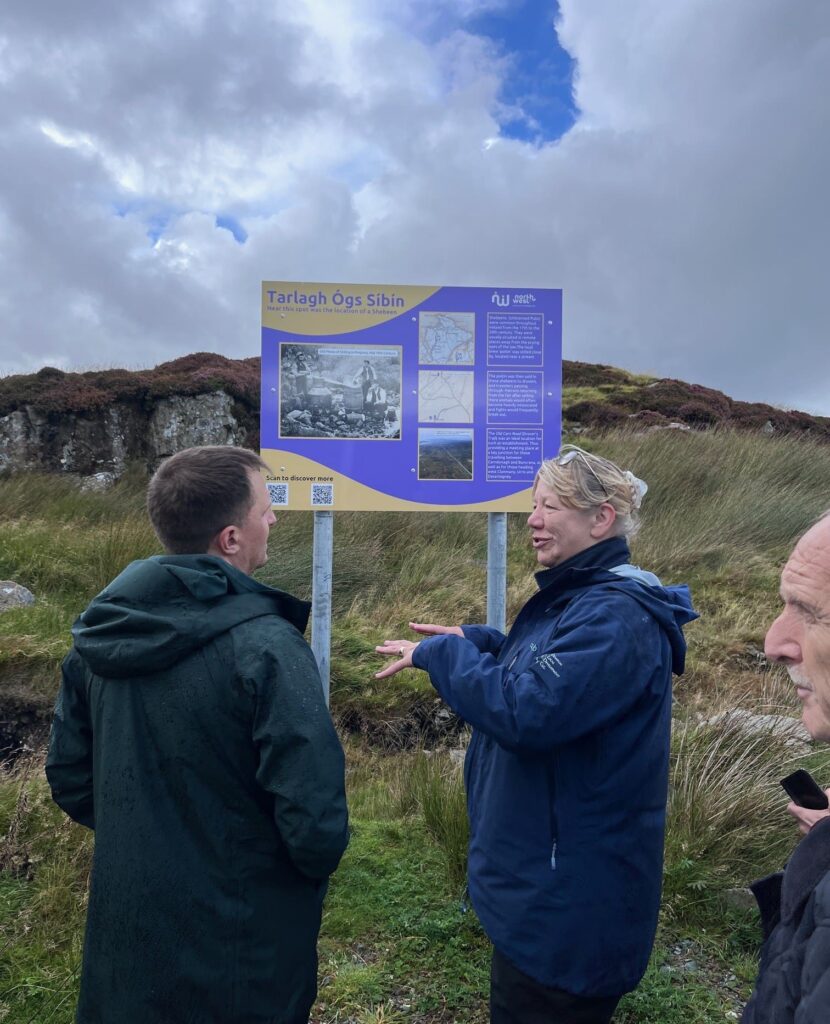
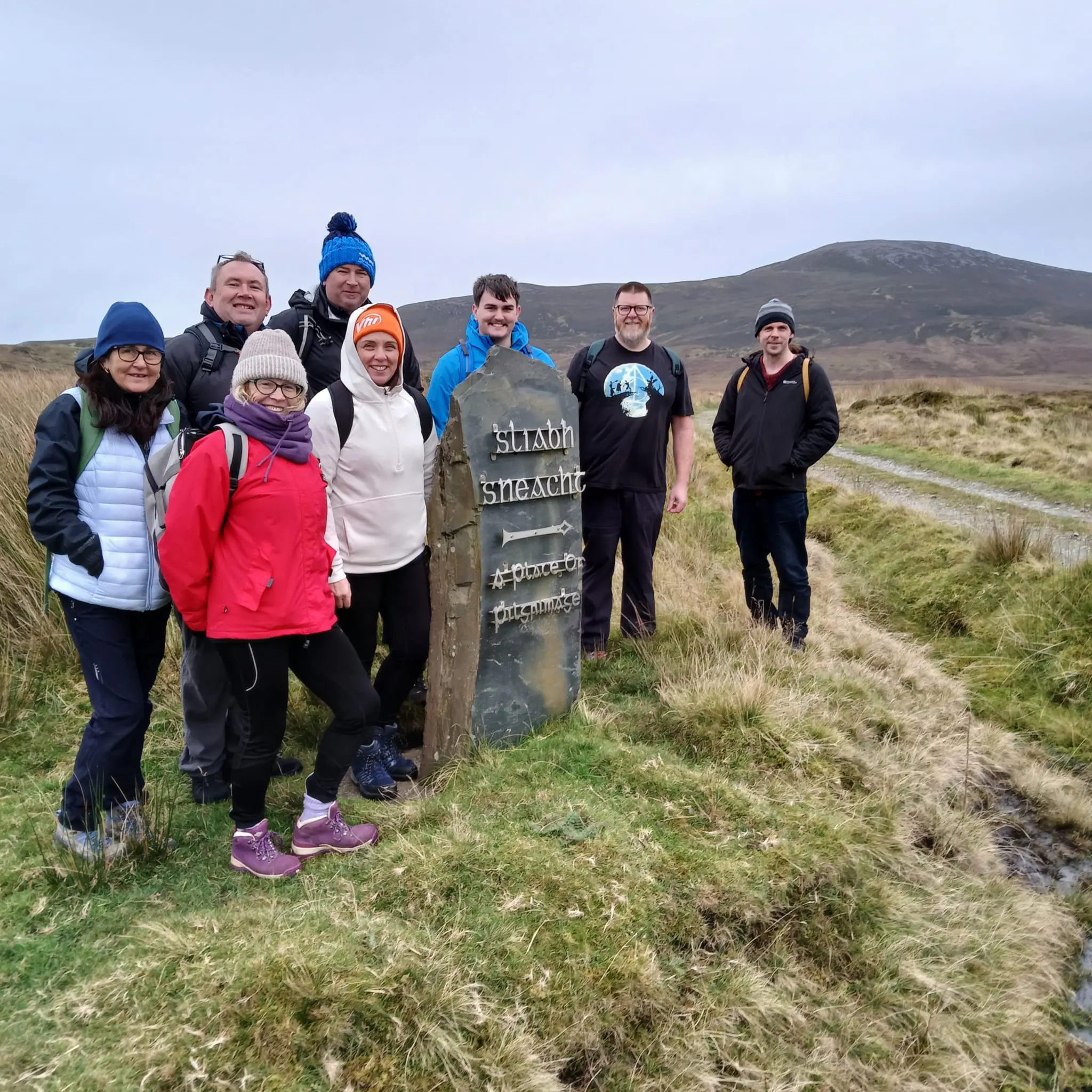
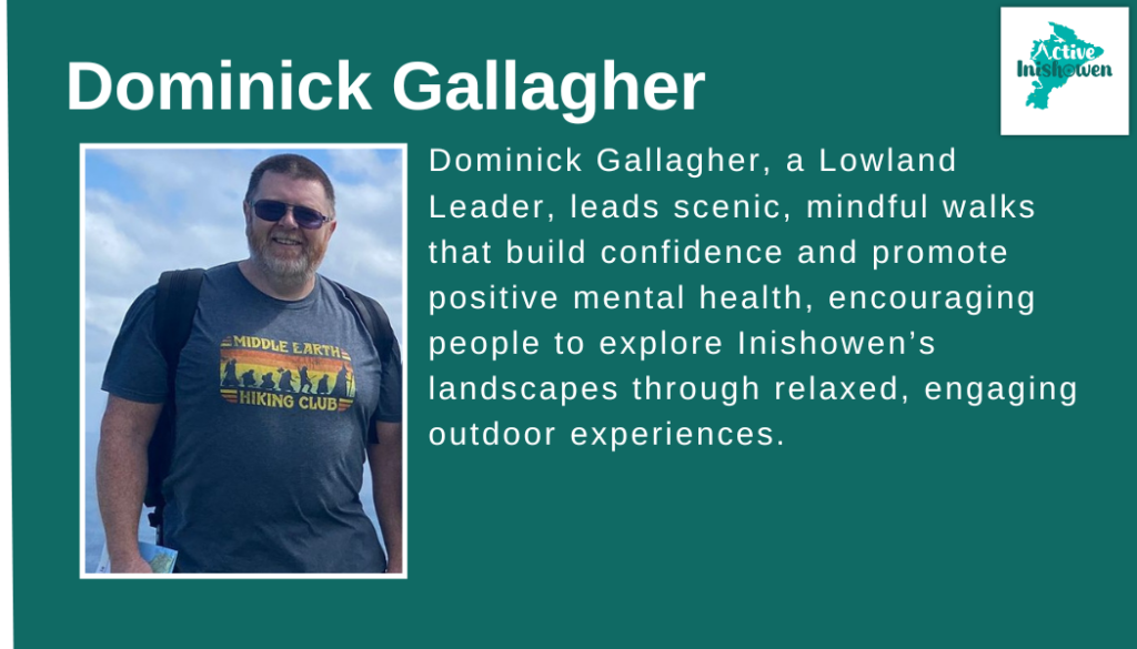
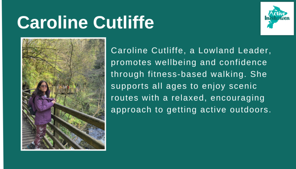
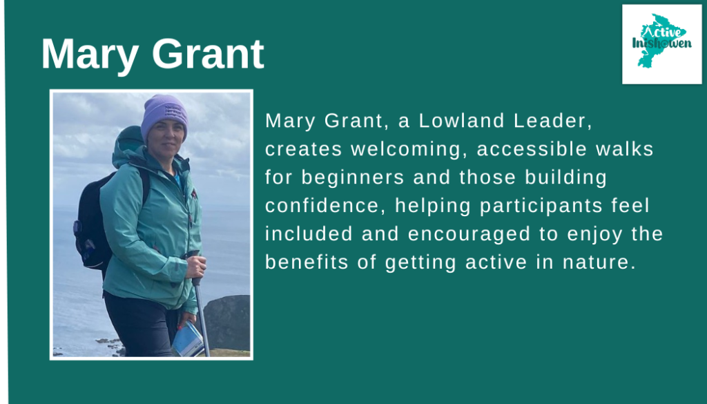
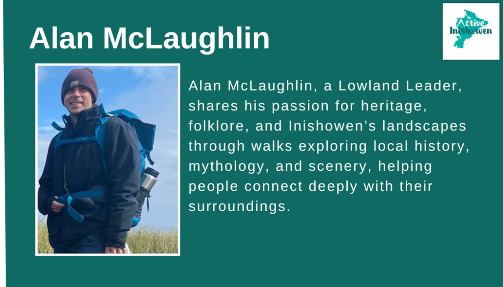
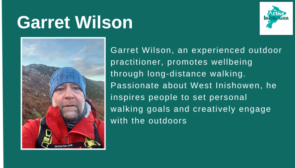
The Active Inishowen Calendar of Events showcases a programme of guided walks led by qualified Lowland Leaders across the Inishowen Peninsula throughout the year. These walks are designed to suit a wide range of abilities and interests, from short beginner-friendly walks to scenic, heritage, wellbeing, and themed routes on established trails.
The calendar is updated regularly, with new walks added as they are confirmed. Not all events may be listed far in advance, so we recommend keeping an eye on IDP social media spaces and checking back often.
How to Book a Walk
All guided walks must be booked in advance using the booking links below.
Browse the upcoming Active Inishowen events
Select your chosen walk to view full details, including location, duration, difficulty, and equipment recommendations.
Book your place (spaces are limited for safety reasons).
Once booked, you’ll receive confirmation and any relevant information needed ahead of the walk.
Inishowen Trails:
Inishowen Trails is a growing network of high-quality walking trails developed and managed by North West Community Development (NWCD), providing safe, accessible and enjoyable outdoor experiences across the Inishowen Peninsula.
Through collaboration with the Active Inishowen Project, a significant number of these trails have been assessed, upgraded and formally registered to national Sport Ireland standards, ensuring consistent quality, safety, and long-term sustainability. This partnership has supported trail inspections, mapping, insurance, and promotion, helping bring local community trails to a nationally recognised level.
The Inishowen Trails network now represents a key outdoor recreation asset for residents and visitors alike, connecting communities, landscapes, heritage and local businesses. Ongoing cooperation between NWCD, Active Inishowen and local partners continues to strengthen the trail network and improve access to clear information, maps and guided opportunities across the peninsula.

Maps and Directions:
| Trail: | Trail Details | Distance and Estimated Time | Grade | Directions | Download Map |
| Inishowen Trails: Network 1 | 1. Umricam Shandrum 2. Tip O’Neill 3. Dorris Russo Walk 4. The Foxes Rock Bulaba Loop | 5km – 2.5 hrs (return) 7km – 3.5 hrs (return) 3.5km – 2 hrs (return) 10km – 3 hrs (loop) | Easy Moderate Moderate Moderate | Umricam Shandrum Tip O’Neill Dorris Russo The Foxes Rock Bulaba Loop | Click here to download Full Map |
| Inishowen Trails: Network 2 | 1. The Old Carn Road Drovers Trail 2. Slí Chroí Inis Eoghain 3. Lakes Loop 4. Meenavogey Trail | 5.5km – 3 hrs (return) 6km – 1.5 hrs 1.5km – 30 min (loop) 3km – 1.5 hrs (return) | Moderate Moderate Moderate Moderate | Old Carn Road Drovers Trial Slí Chroí Inis Eoghain Lakes Loop Meenavogey Trail | Click Here to Download the Full Map |
| Inishowen Trails: Network 3 (Trails Linked to Greenway) | 1.Cruckahenny Trail 2. Grania’s Gap Trail | 9km – 2.5 hrs 11km – 3 hrs | Moderate Moderate | Cruckahenny Trail Grania’s Gap Trail | Click Here to Download the Full Map |
| Other National Standard Trails | Inishowen Head Loop | 8km – 2.5 hrs | Moderate | Inishowen Head | View Map |
| Leenan Loop | 2km – 1 hr | Moderate | Leenan Loop | View Map | |
| Glenevin Waterfall Walk | 2km – 1 hr (return) | Easy | Glenevin Waterfall | View Map | |
| Malin Head Trail | 2km – 1 hr (return) | Moderate | Malin Head | View Map |
**When viewing this table on a mobile phone please turn your screen to the side