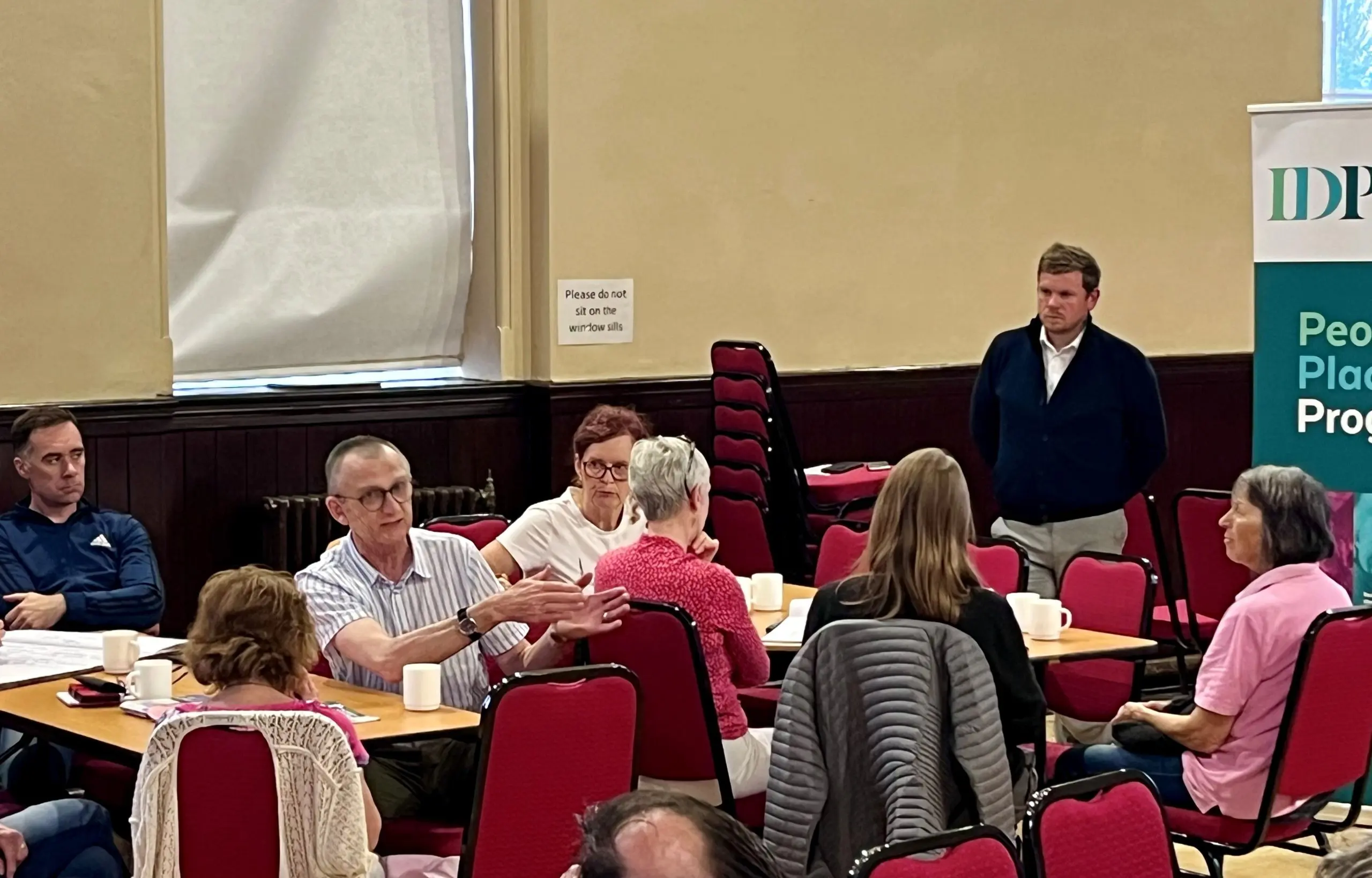
Active Inishowen aims to reduce barriers to participation and create a lasting positive impact on health, wellbeing, and outdoor recreation. The project has progressed from research and consultation into delivery through a hub-based model working across 10 communities in Inishowen. We developed local action plans focused on increasing participation, building local capacity, and enhancing walking and cycling infrastructure.
Upcoming Active Inishowen events
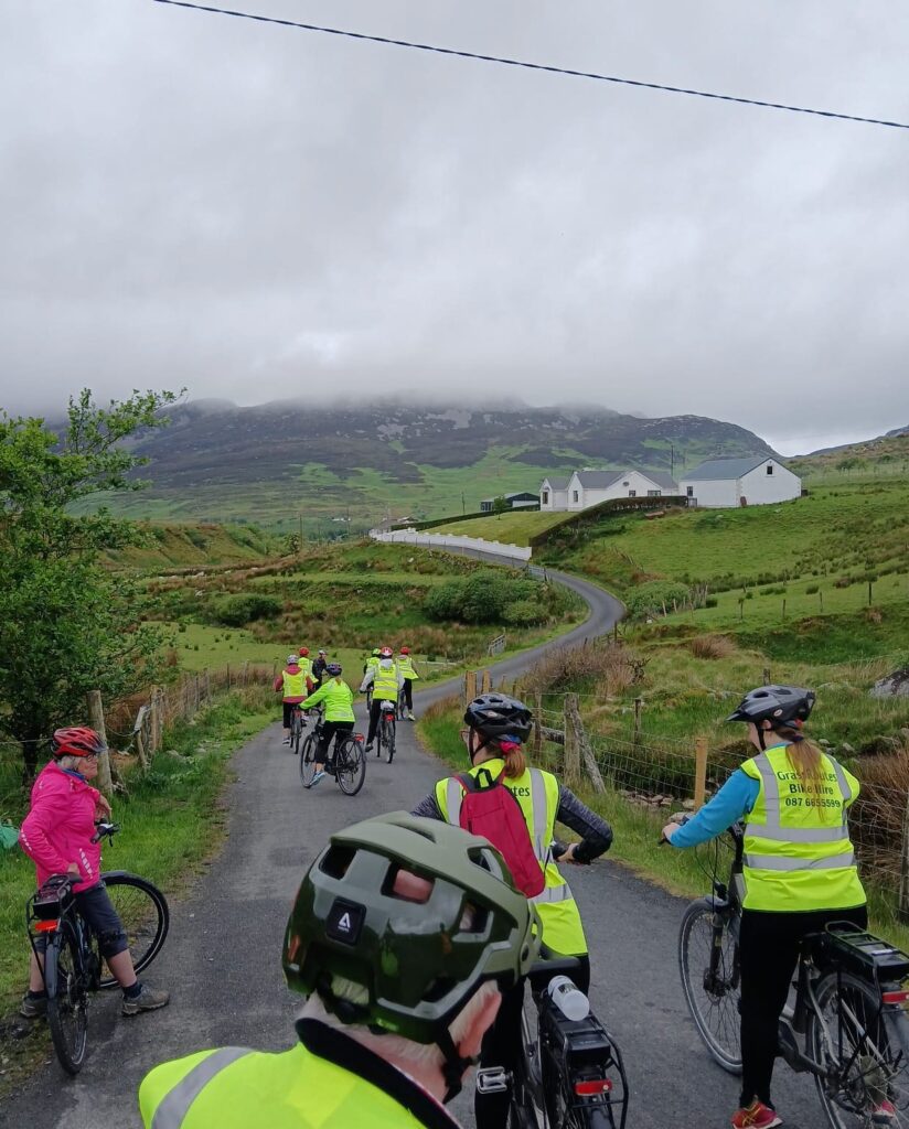
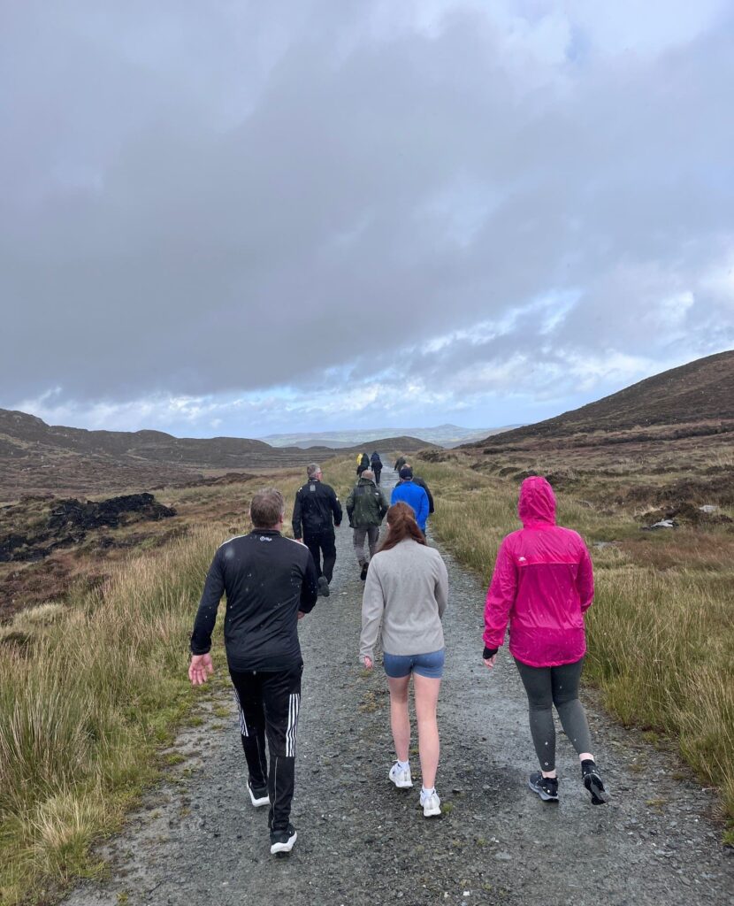
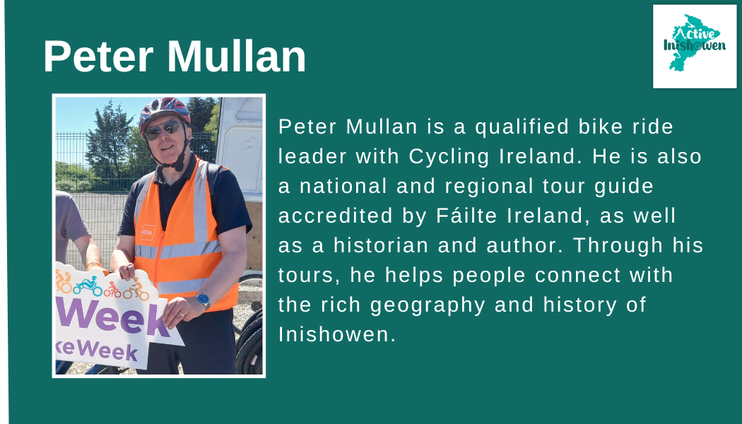
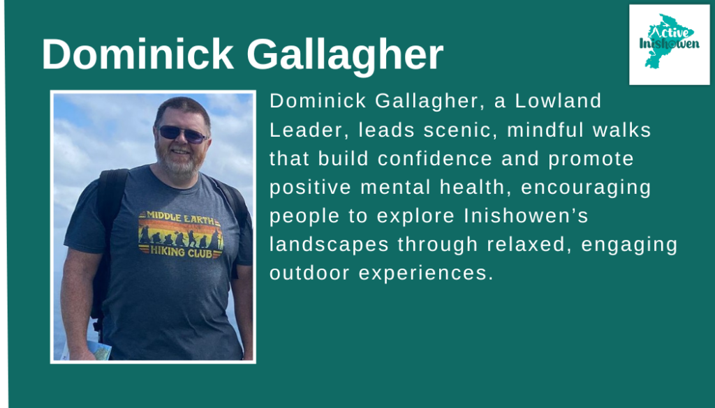
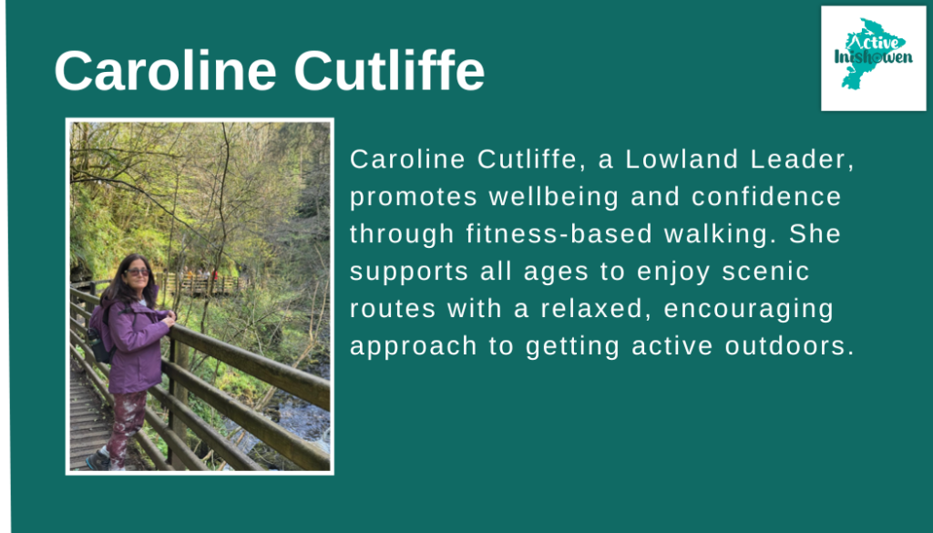
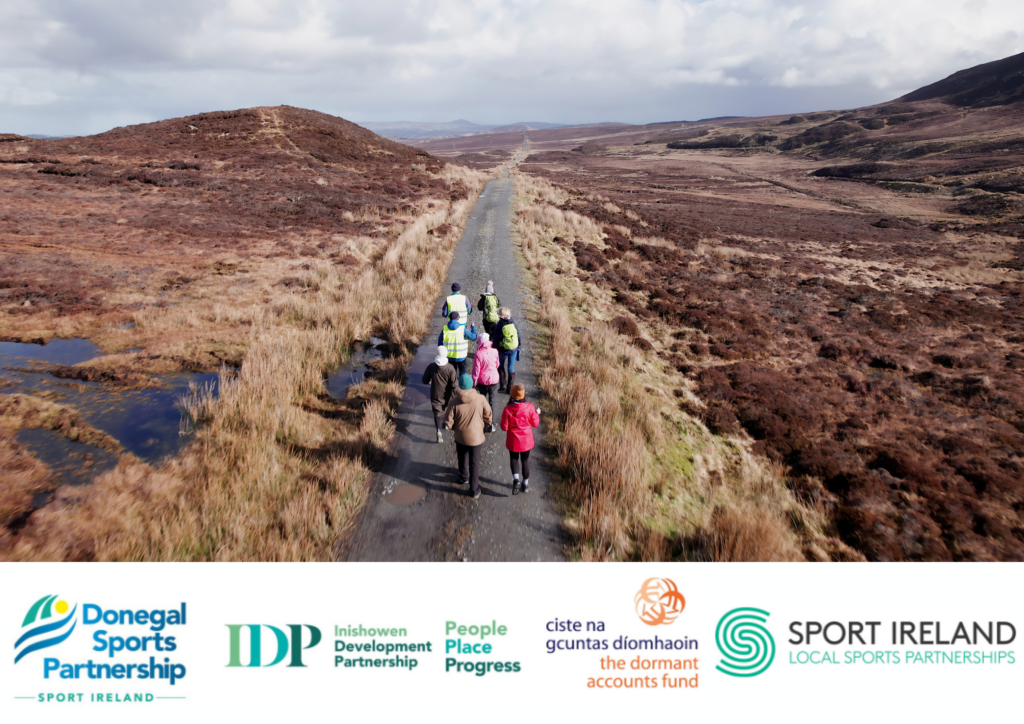
The Active Inishowen Calendar of Events showcases a programme of guided walks and bike rides led by qualified leaders across Inishowen. These events are designed to suit a wide range of abilities and interests.
How to Book
All events must be booked in advance using the booking links below.
Once booked, you’ll receive confirmation and any relevant information needed ahead of the walk.
Please note: While these events are free to attend, places are limited. If you book a place, we kindly ask that you commit to attending or let us know in advance if you can no longer make it. This allows others the opportunity to take part.

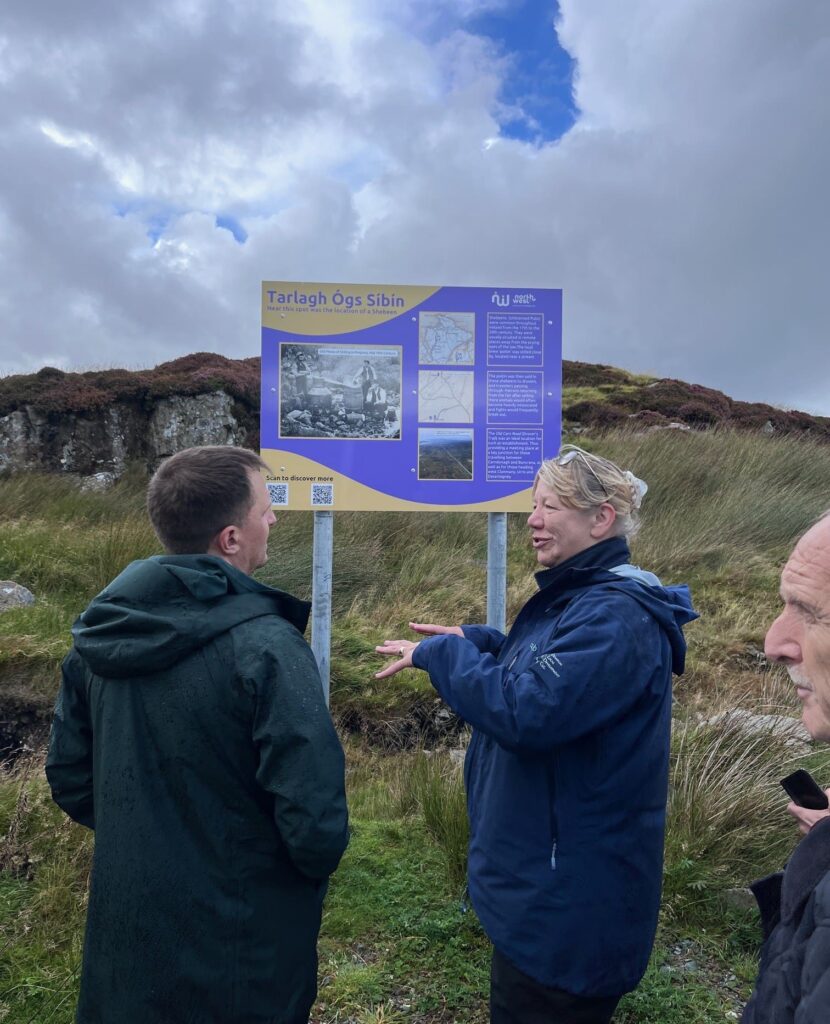
Inishowen Trails is a growing network of high-quality walking trails developed and managed by North West Community Development (NWCD), providing safe, accessible and enjoyable outdoor experiences across the Inishowen Peninsula. The Inishowen Trails network now represents a key outdoor recreation asset for residents and visitors alike, connecting communities, landscapes, heritage and local businesses.
Through ongoing collaboration with the Active Inishowen Project, a significant number of these trails have been assessed, upgraded and formally registered to national Sport Ireland standards, ensuring consistent quality, safety, and long-term sustainability.
Trail Guides
| Trail: | Trail Details | Distance and Estimated Time | Grade | Directions | Download Map |
| Inishowen Trails: Network 1 | 1. Umricam Shandrum 2. Tip O’Neill 3. Dorris Russo Walk 4. The Foxes Rock Bulaba Loop | 5km – 2.5 hrs (return) 7km – 3.5 hrs (return) 3.5km – 2 hrs (return) 10km – 3 hrs (loop) | Easy Moderate Moderate Moderate | Umricam Shandrum Tip O’Neill Dorris Russo The Foxes Rock Bulaba Loop | Click here to download Full Map |
| Inishowen Trails: Network 2 | 1. The Old Carn Road Drovers Trail 2. Slí Chroí Inis Eoghain 3. Lakes Loop 4. Meenavogey Trail | 5.5km – 3 hrs (return) 6km – 1.5 hrs 1.5km – 30 min (loop) 3km – 1.5 hrs (return) | Moderate Moderate Moderate Moderate | Old Carn Road Drovers Trial Slí Chroí Inis Eoghain Lakes Loop Meenavogey Trail | Click Here to Download the Full Map |
| Inishowen Trails: Network 3 (Trails Linked to Greenway) | 1.Cruckahenny Trail 2. Grania’s Gap Trail | 9km – 2.5 hrs 11km – 3 hrs | Moderate Moderate | Cruckahenny Trail Grania’s Gap Trail | Click Here to Download the Full Map |
| Other National Trails | Inishowen Head Loop | 8km – 2.5 hrs | Moderate | Inishowen Head | View Map |
| Leenan Loop | 2km – 1 hr | Moderate | Leenan Loop | View Map | |
| Glenevin Waterfall Walk | 2km – 1 hr (return) | Easy | Glenevin Waterfall | View Map | |
| Malin Head Trail | 2km – 1 hr (return) | Moderate | Malin Head | View Map | |
| Community Trails | Inch Wildfowl Reserve | 8km – 2hours | Easy | Inch Wildfowl Reserve | View Map |
| Butler’s Glen Loop | 10.5km – 3hrs | Moderate-Strenuous | Two starting points: Glenevin Waterfall or Mamore Gap car park | View Map | |
| Fort Dunree | 2km – 1hr | Various loops Easy-Strenuous | Fort Dunree | View Map | |
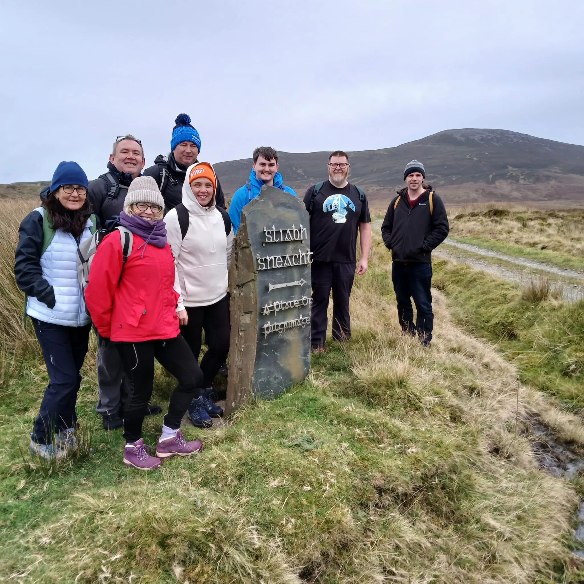
| Sliabh Sneacht | 10km- 4hrs (return) | Strenuous- experienced hikers only | Sliabh Sneacht | View Map | |
| Urris Lakes Loop (extension of Leenan Loop) | 6.5km-2.5hrs | Strenuous- experienced hikers only | Urris Lakes | View Map |
**When viewing this table on a mobile phone please turn your screen to the side